DOCUMENT
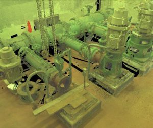
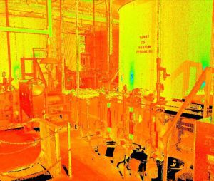
 Environmental engineering firm Wright-Pierce piloted 3D laser scanning with LandTech Consultants to survey Haverhill Water Treatment’s pump room and chemical feed room. The rooms were being surveyed to prepare a model for upgrades and retrofits.
DESIGN
 With a one-person team in one day, LandTech was able to collect all the required data points in 3D to create a point cloud that would provide accurate documentation of existing conditions.
DEVELOP
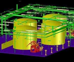
 LandTech worked with the Wright-Pierce team to help them understand the options available for working with point clouds within ReCap, Revit and AutoCAD as well as the ease of working with a point cloud to extend the value delivered by the scan.
“The LandTech team sent one surveyor, one scanner and in one day completed the scan. This is a task that would have required multiple surveyors over the course of several days to complete using conventional techniques. When we merged the LandTech 3D laser scanning data with drawings we had previously created, the accuracy of the LandTech data was spot on. Additionally, LandTech shared with us that we can create a model directly from the data. We propose that this is the absolute best way to generate a record drawing data set after construction is complete.” – Robert Williamson, P.E., Senior Project Manager, Wright‐Pierce Engineering


