


 CHALLENGE
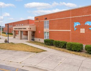
Anne Arundel County Public Schools (AACPS) serve over 85,000 students, in 120+ schools across Maryland’s Anne Arundel County. Facing challenges in managing and organizing their extensive floorplans, AACPS’s Office of Planning, Design, and Construction sought an innovative solution. They needed to address legislative requirements, streamline reporting and querying tasks, and enhance facility security and safety. Having previously utilized ArcGIS for other projects, AACPS saw the potential of ArcGIS Indoors but needed a clearer picture of the data migration progress as well as the functionality, customization, and scalability of the solution.
 SOLUTION
 SOLUTION
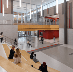
To explore ArcGIS Indoors, Esri recommended LandTech, a trusted partner renowned for its expertise in ArcGIS Indoors implementations. LandTech embarked on a pilot project with a committed AACPS team, aiming to deliver a budget-friendly and efficient solution. The pilot encompassed the review, evaluation, and migration of floorplans for four schools, the extension of the Indoors Information Model with standardized use codes and coded domains, configuration of the Indoors Viewer App, and the creation of custom apps for data collection, editing, and reporting.
RESULT
 RESULT
The pilot project’s success was evident as LandTech effectively showcased the transformative power of ArcGIS Indoors. AACPS was impressed by the swift progress and the potential for scaling the solution county-wide. AACPS is now progressing to extend the pilot, collaborating with state governing bodies, securing grant and internal funding, and setting prioritization strategies.The partnership between AACPS and LandTech demonstrated the capabilities and scalability of ArcGIS Indoors for facility management and security. The successful pilot project lays a solid foundation for broader implementation, offering AACPS a sophisticated solution for managing school floorplans and critical data with ease and precision.
Learn More
Could ArcGIS Indoors be the key to solving your space-related challenges? Connect with the experts at LandTech to schedule a virtual meeting and demo!